Log in
All resources
Create a design
38,808 Free Images of 1876 Maps
maps made in the 17th century
charts and maps of the royal museums greenwich
1590 maps
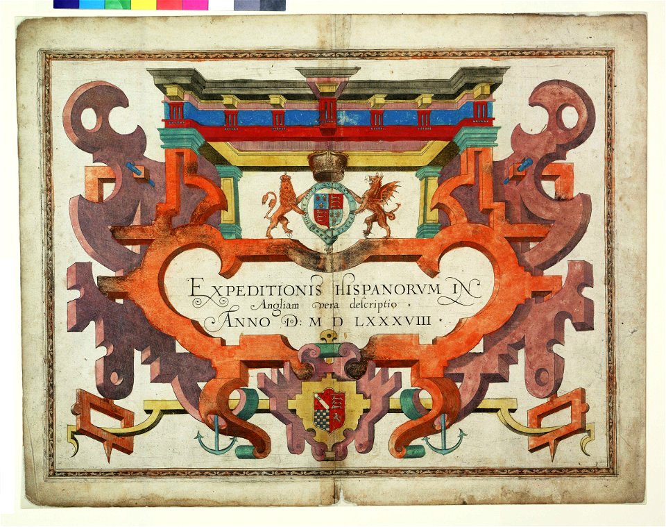
augustine ryther
expeditionis hispanorum in angliam vera descriptio anno domini mdlxxxviii
maps made in the 18th century
atlantis magni tomus secundus (biblioteca comunale di trento)
atlantis magni tomus tertius (biblioteca comunale di trento)
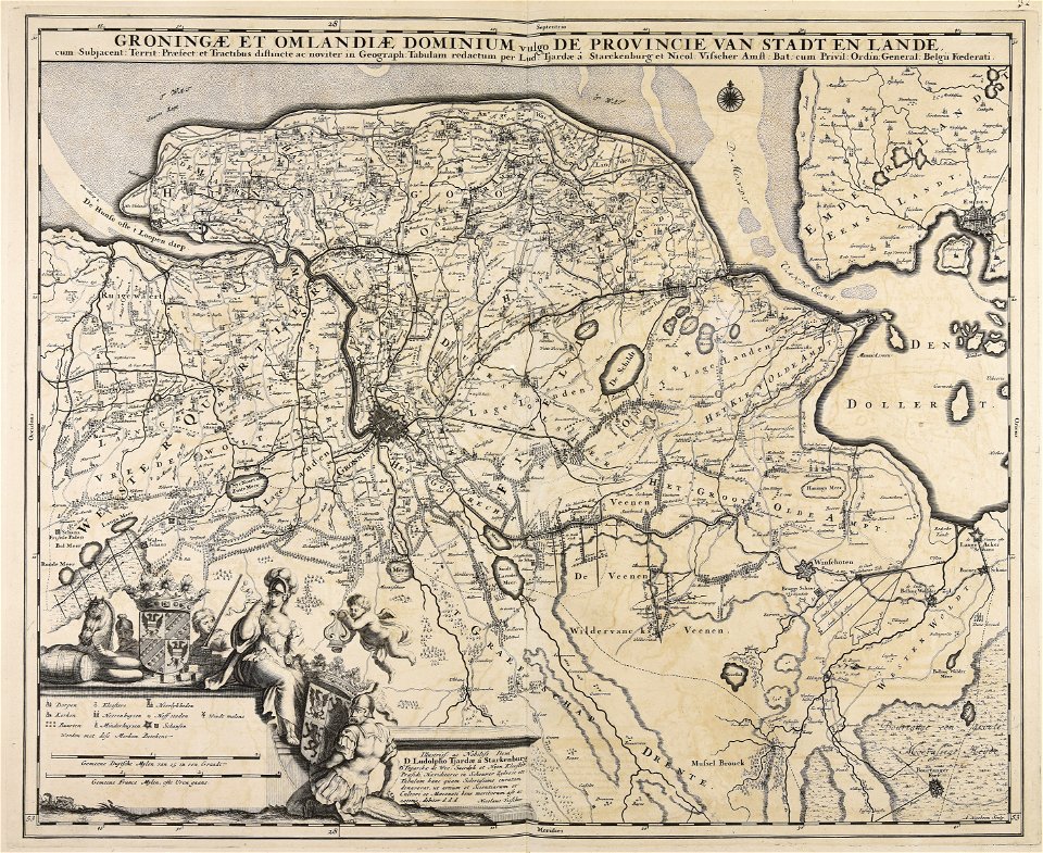
nicolaes visscher ii
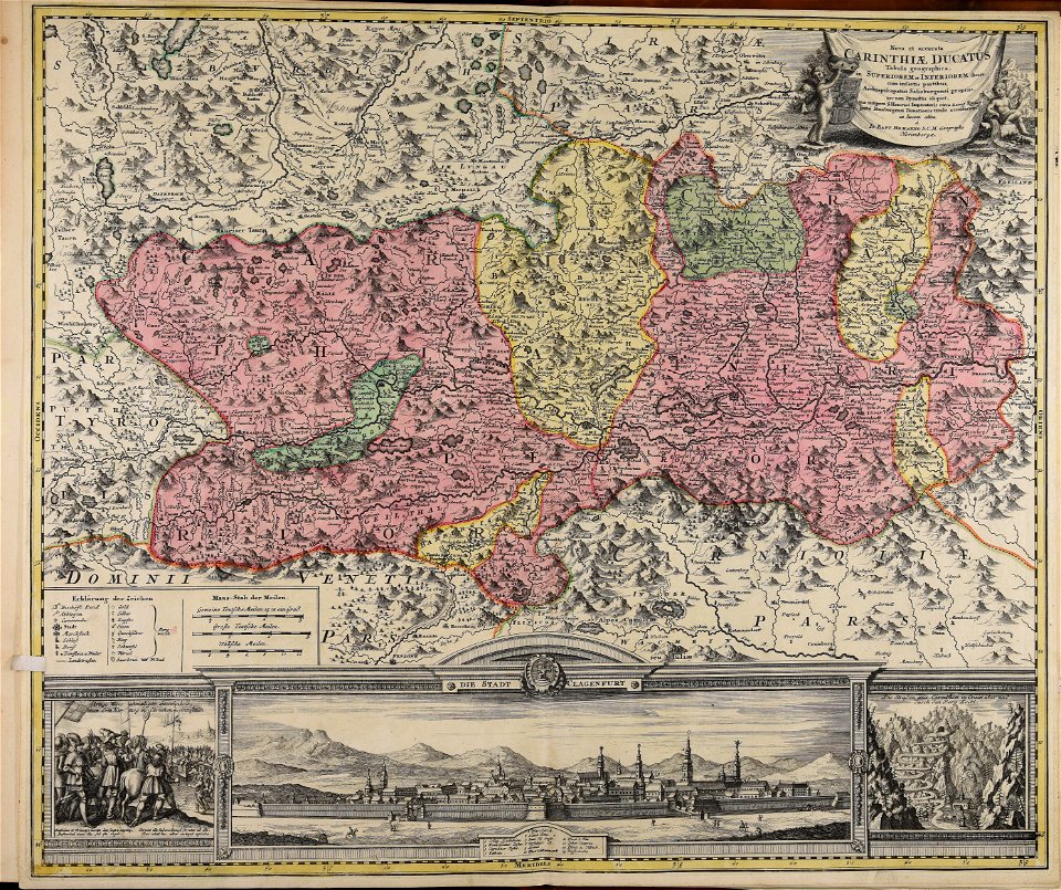
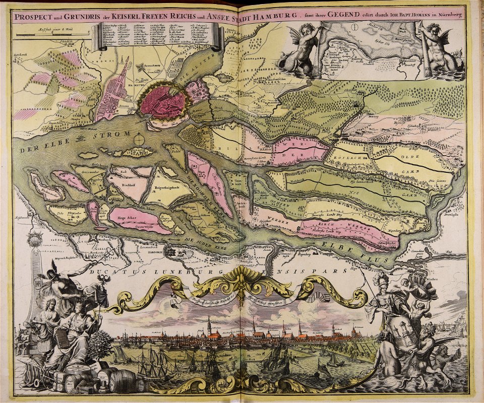
johann baptist homann
maps made in the 17th century
nicolaes visscher ii
maps made in the 17th century
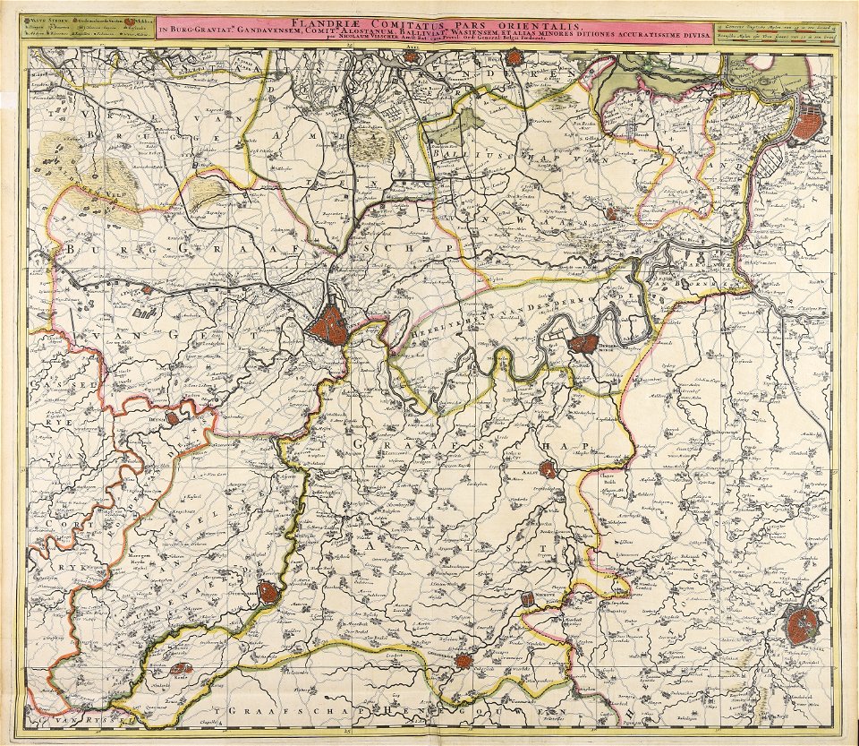
nicolaes visscher ii
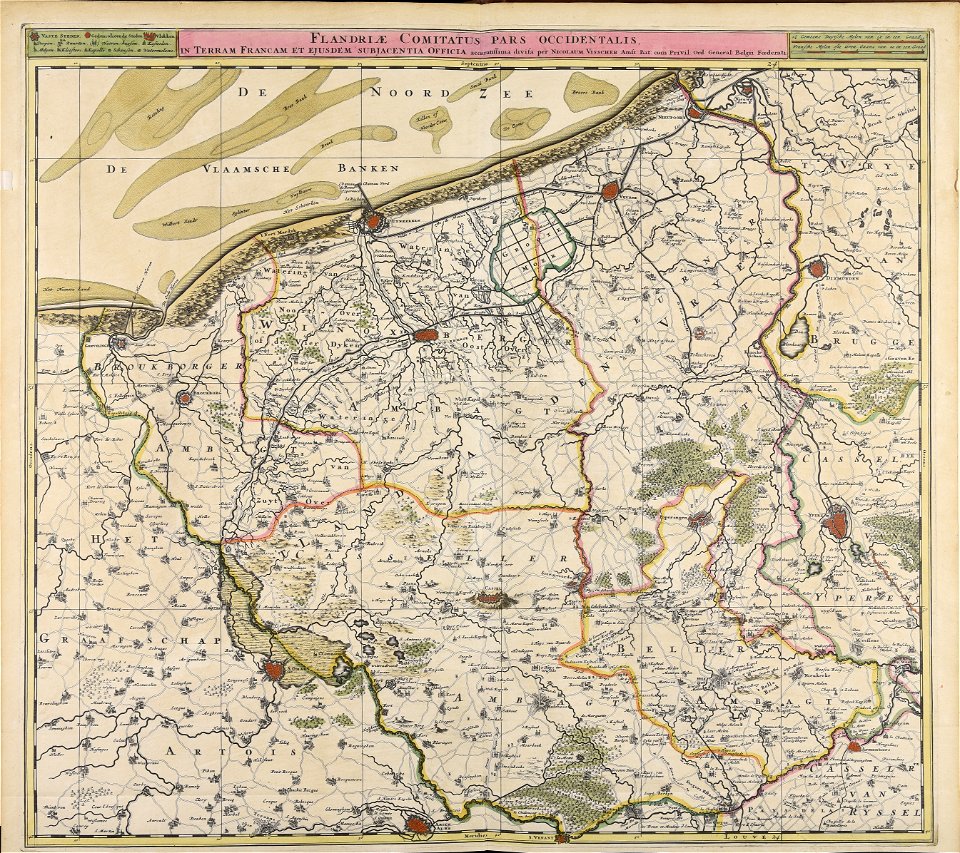
maps made in the 17th century
nicolaes visscher ii
maps made in the 17th century
nicolaes visscher ii
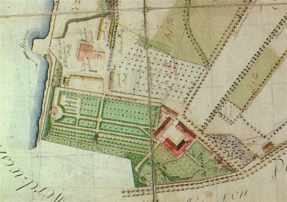
pleasureground (klein-glienicke)
parts of old maps of berlin
atlantis magni tomus quintus (biblioteca comunale di trento)
maps made in the 18th century
maps made in the 17th century
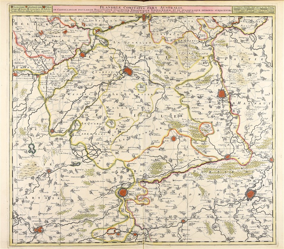
nicolaes visscher ii
maps made in the 17th century
nicolaes visscher ii
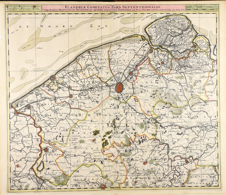
maps made in the 17th century
nicolaes visscher ii
maps made in the 17th century
jan janssonius
maps made in the 18th century
johann baptist homann
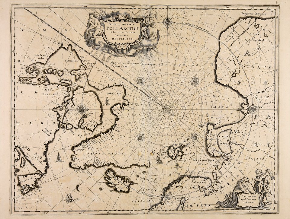
maps by willem and johannes blaeu
1649
maps made in the 18th century
johann baptist homann
maps made in the 17th century
old maps of gelderland
fonds ancely - bibliothèque municipale de toulouse - maps
françois arago
bamako in the 1880s
military maps
maps made in the 18th century
johann baptist homann
maps made in the 18th century
gerard van keulen
maps made in the 16th century
old maps of lazio
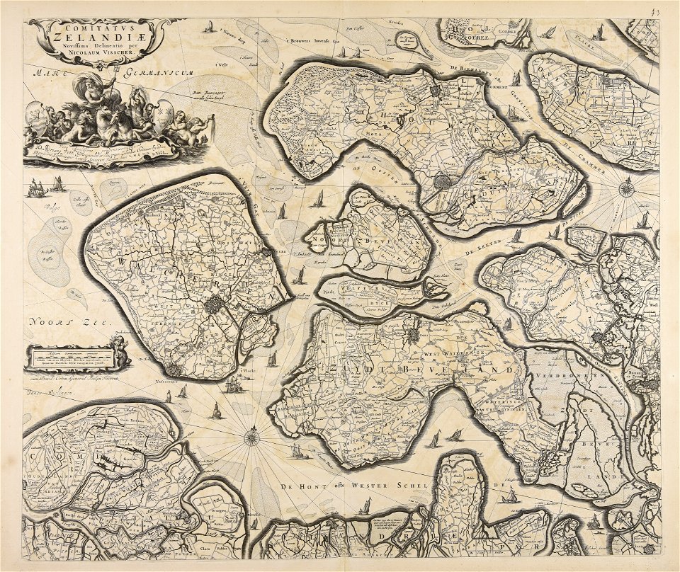
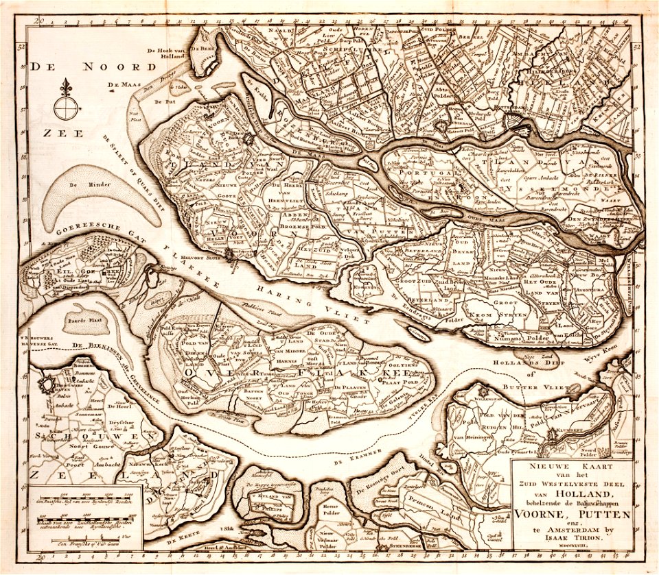
old maps of zeeland
old maps of holland
maps made in the 17th century
jan janssonius
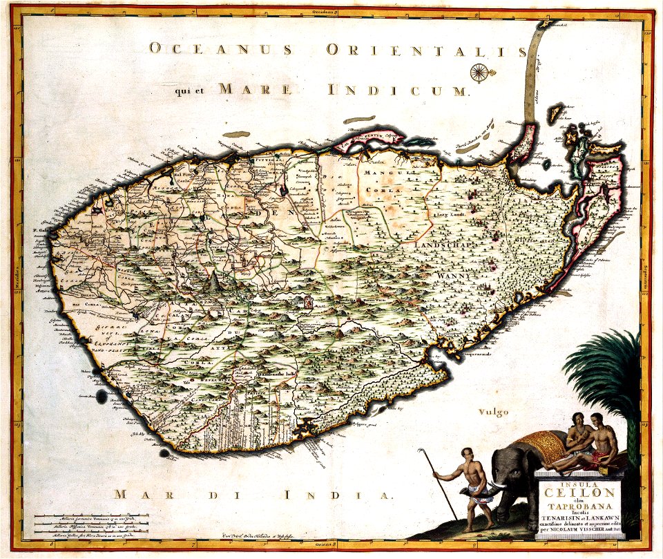
old maps of sri lanka
koral
engravings after peter paul rubens
harvard university
maps made in the 18th century
johann baptist homann
maps made in the 16th century
old maps of lombardy
atlantis magni tomus tertius (biblioteca comunale di trento)
maps made in the 17th century
18th-century maps of schleswig-holstein
maps by pieter schenk (i)
maps made in the 17th century
cornelis danckerts (i)
maps made in the 18th century
johann baptist homann
maps made in the 18th century
johann baptist homann
maps made in the 18th century
johann baptist homann
maps made in the 18th century
johann baptist homann
old maps of the world
1880 maps
maps made in the 18th century
johann baptist homann
old maps of nuremberg
johann baptist homann
charts and maps of the royal museums greenwich
1590 maps
maps made in the 17th century
old celestial maps
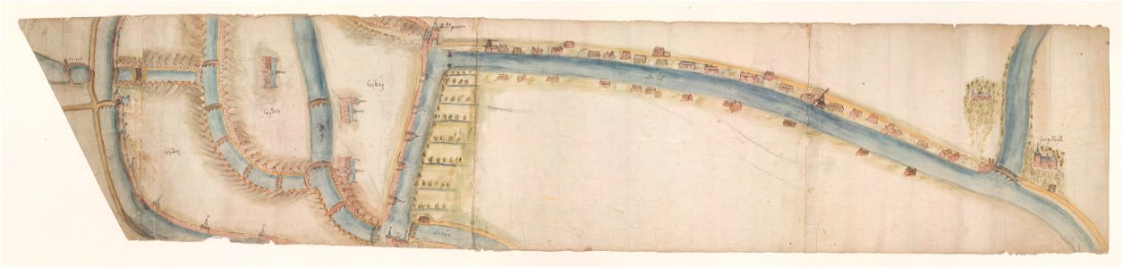
maps of waterways in the netherlands
leiden
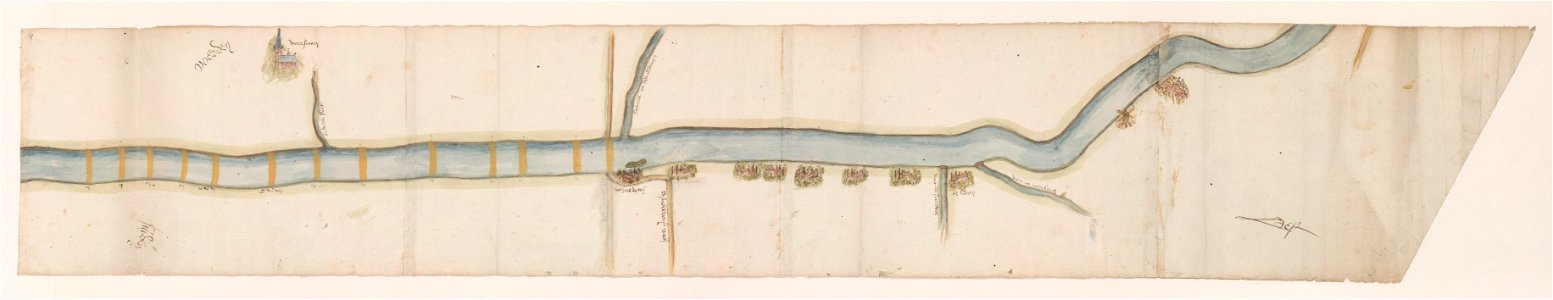
maps of waterways in the netherlands
voorschoten
atlantis magni tomus quintus (biblioteca comunale di trento)
maps made in the 17th century
maps made in the 18th century
maps by pieter schenk (i)
maps made in the 18th century
gerard valck
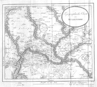
images from bau- und kunstdenkmäler des regierungsbezirks wiesbaden (volume 5)
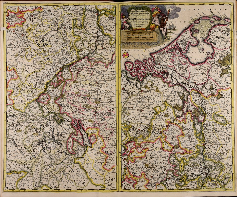
german-language maps showing history of europe
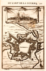
old maps of landrecies
pentagon
gerard valck
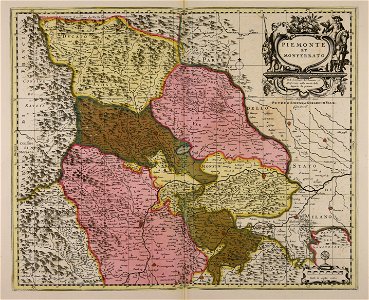
piedmont
maps made in the 17th century
jan janssonius
charts and maps of the royal museums greenwich
1590 maps
charts and maps of the royal museums greenwich
1590 maps
charts and maps of the royal museums greenwich
1590 maps
charts and maps of the royal museums greenwich
1590 maps
charts and maps of the royal museums greenwich
1590 maps
charts and maps of the royal museums greenwich
1590 maps
charts and maps of the royal museums greenwich
1590 maps
charts and maps of the royal museums greenwich
1590 maps
charts and maps of the royal museums greenwich
1590 maps
maps made in the 17th century
jan janssonius
maps made in the 17th century
old maps of italy
charts and maps of the royal museums greenwich
1590 maps
charts and maps of the royal museums greenwich
1590 maps
charts and maps of the royal museums greenwich
1590 maps
charts and maps of the royal museums greenwich
1590 maps
charts and maps of the royal museums greenwich
1590 maps
russian-language maps
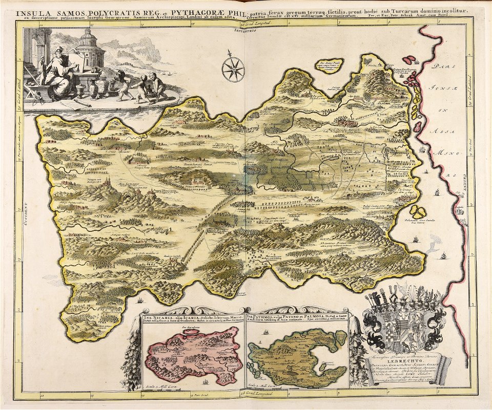
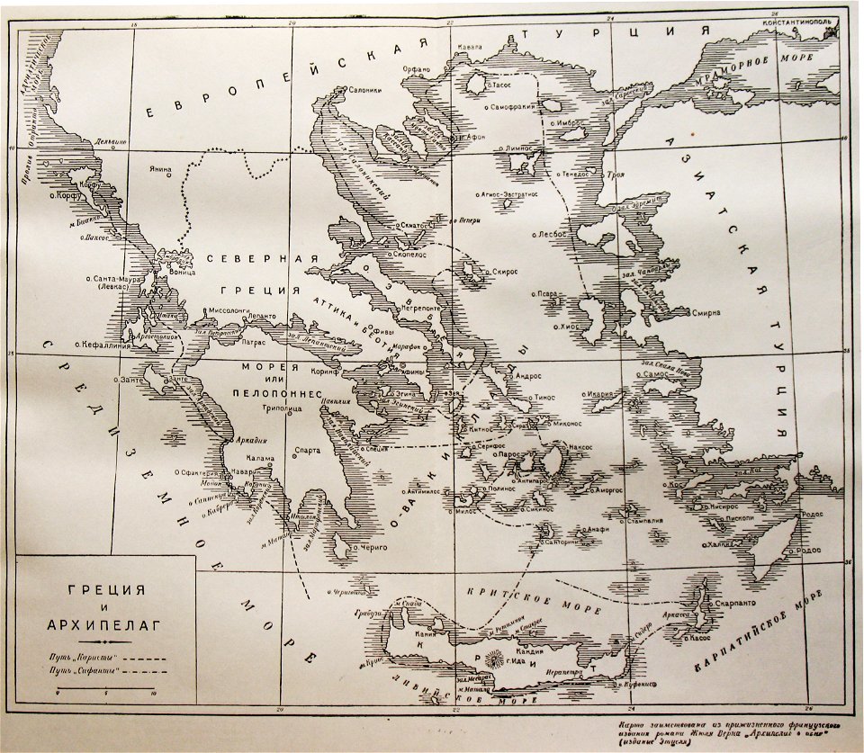
old maps of greece
old maps of the sea of azov
1856 maps
charts and maps of the royal museums greenwich
1590 maps
maps made in the 18th century
gerard valck
maps made in the 17th century
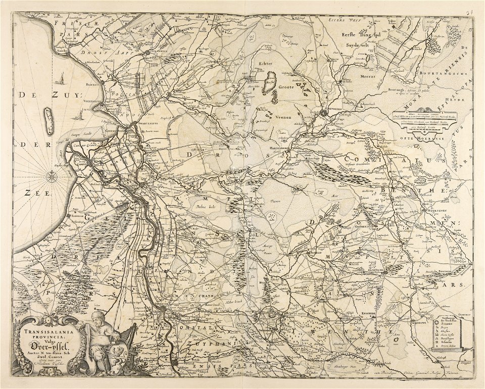
old maps of overijssel
charts and maps of the royal museums greenwich
1590 maps
volume 1 of le tour du monde
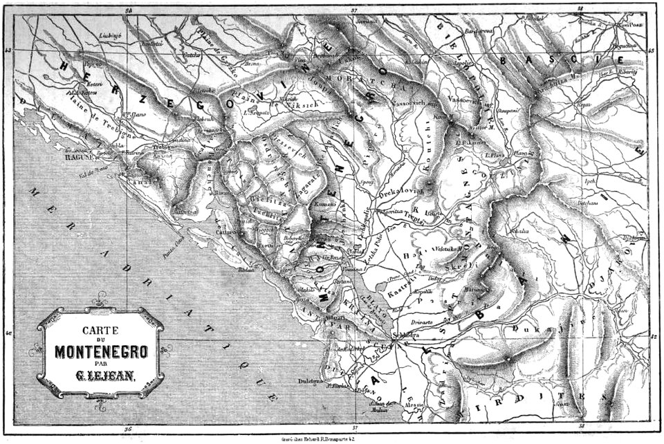
maps of the bay of kotor
maps made in the 17th century
nicolaes visscher ii
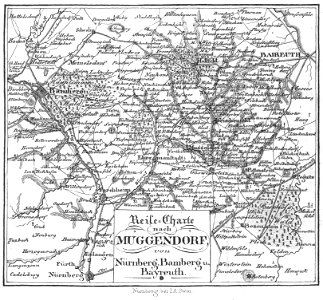
collections of staatsbibliothek bamberg
franconian switzerland
collections of staatsbibliothek bamberg
franconian switzerland
atlantis magni tomus tertius (biblioteca comunale di trento)
maps made in the 17th century
caricatures of wilhelm ii of germany
cornell university library
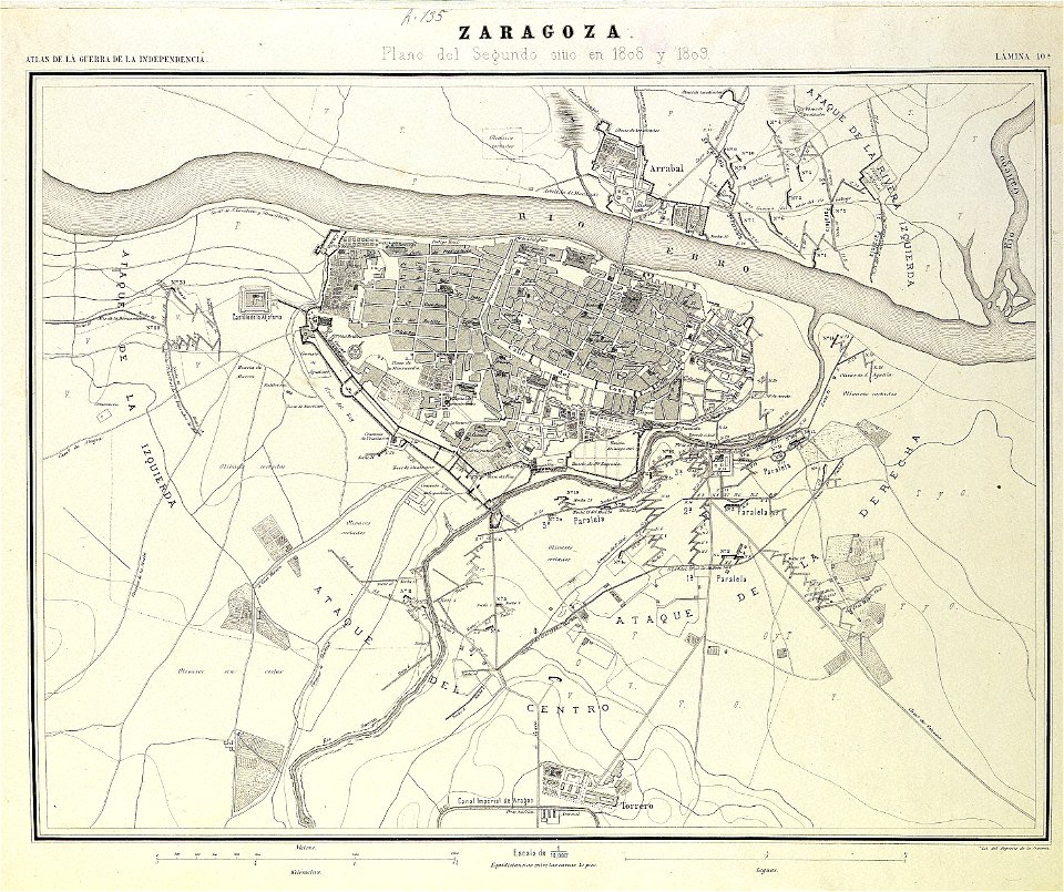
second siege of zaragoza
1868
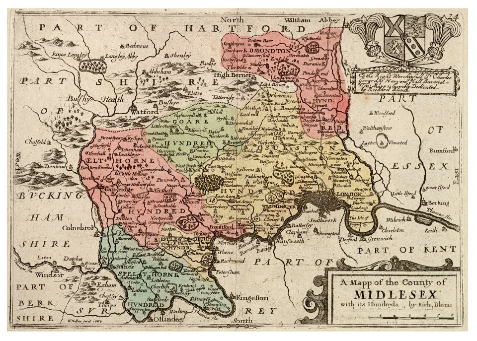
university of toronto wenceslas hollar digital collection
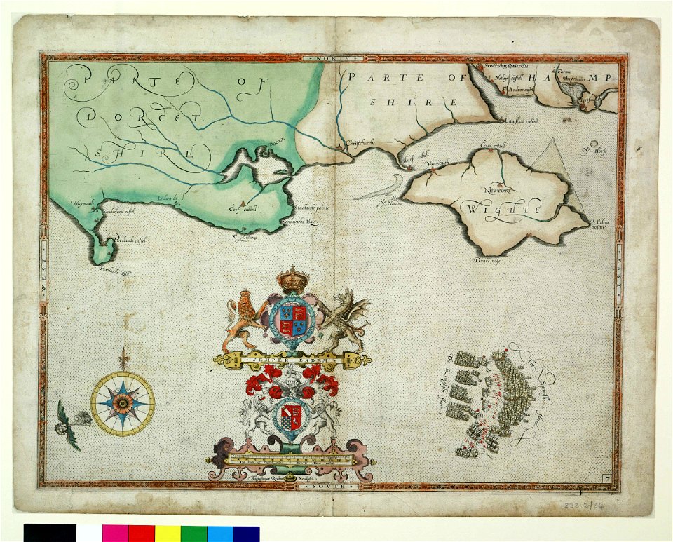
surrey
atlas van der hagen (volume 4)
maps with cartouches
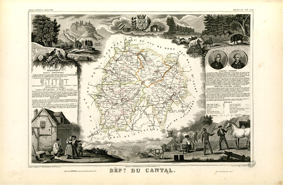
coats of arms of cities in cantal
pierre laurent buirette de belloy
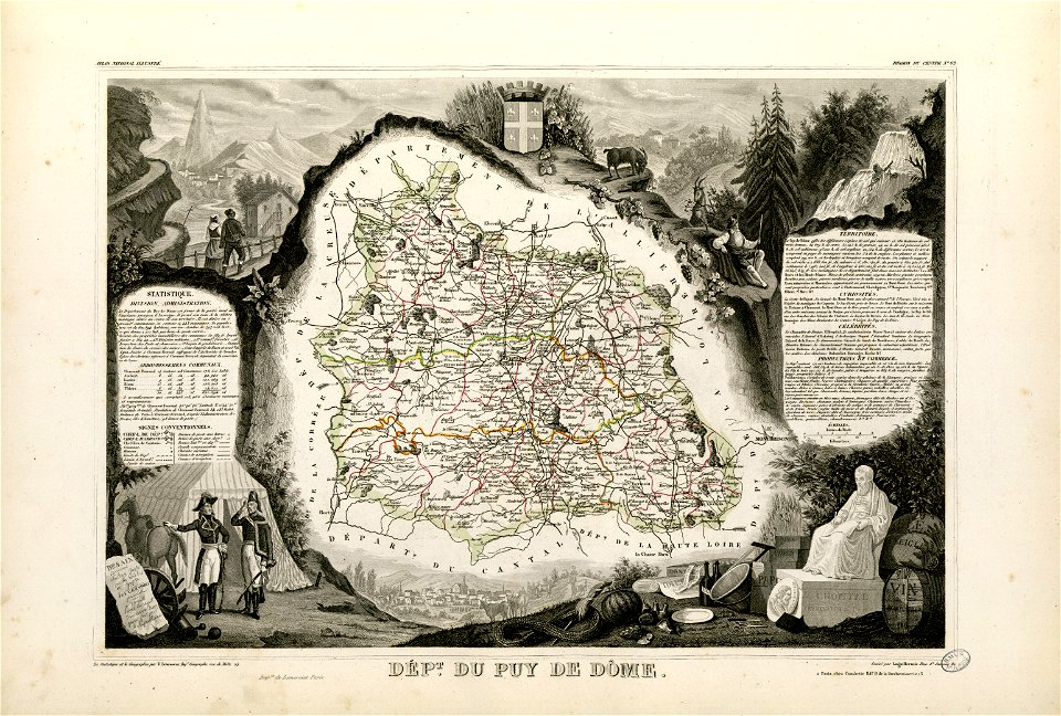
coats of arms of cities in puy-de-dôme
vercingetorix
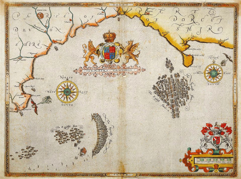
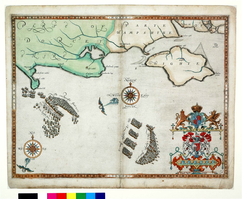
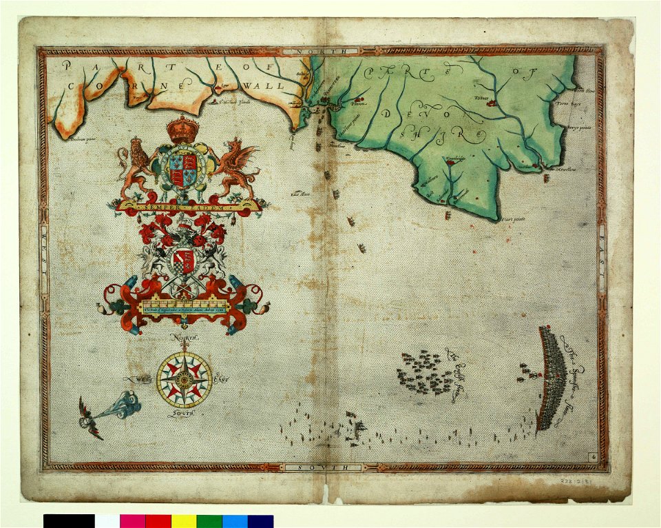
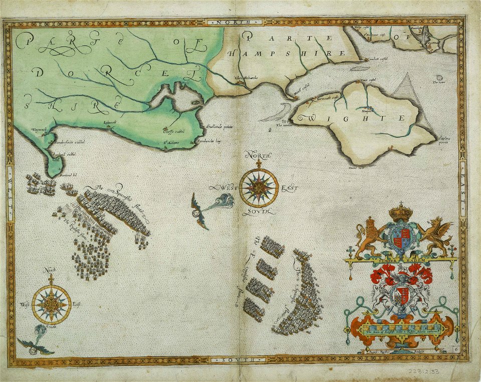
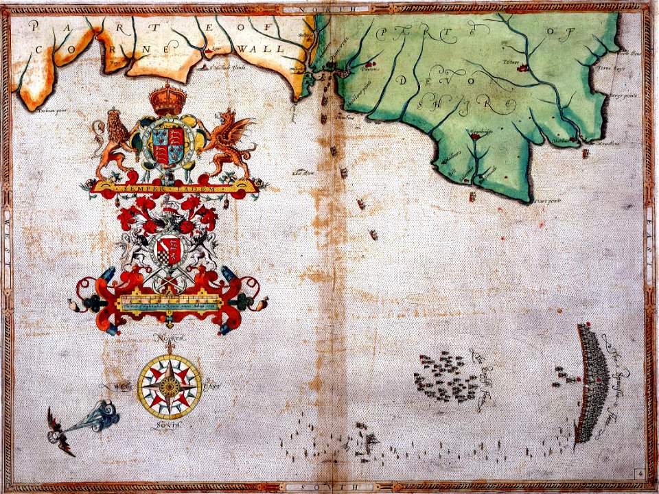
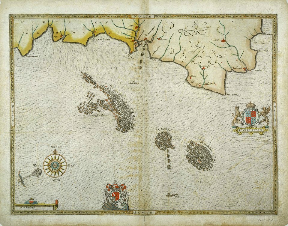
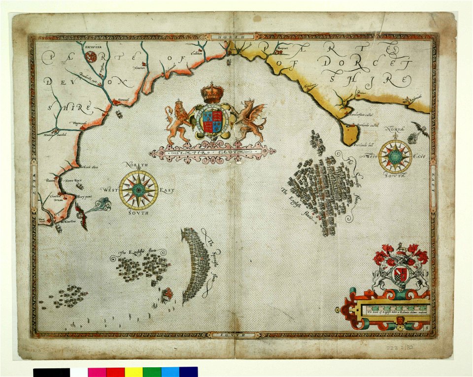
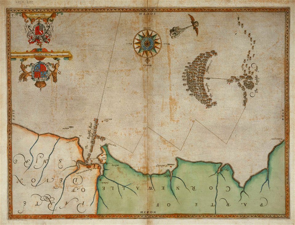
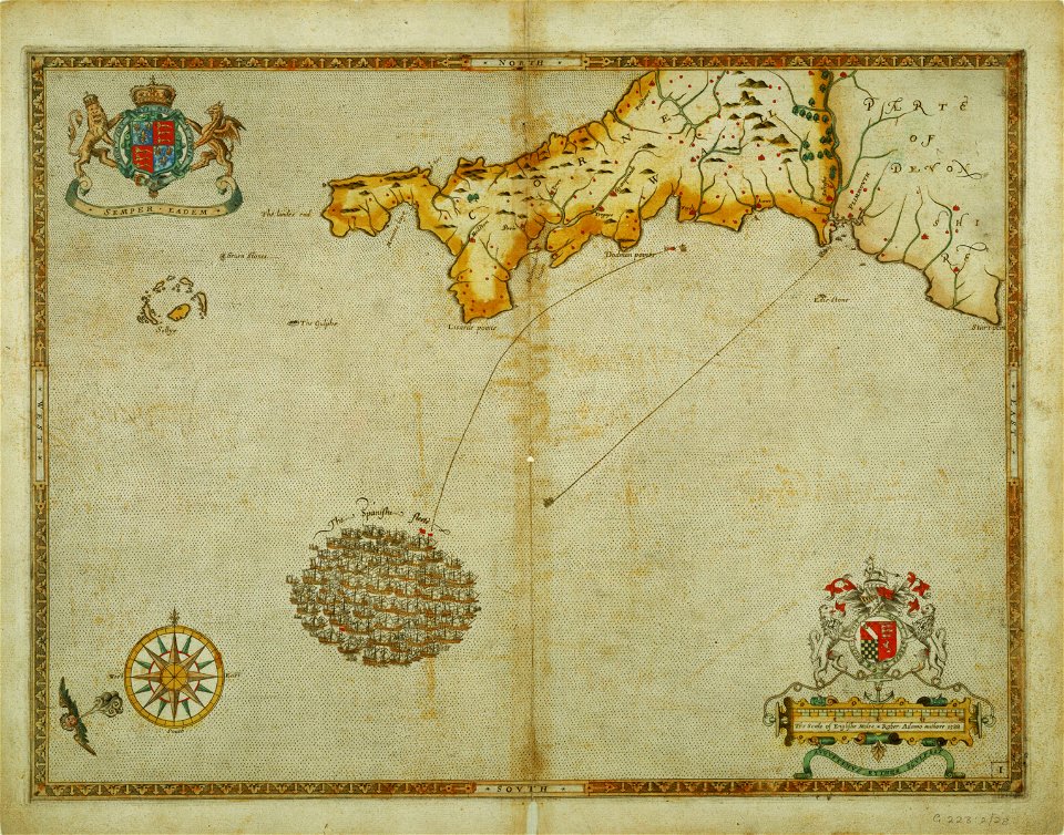
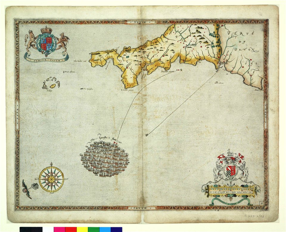
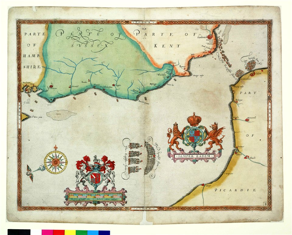
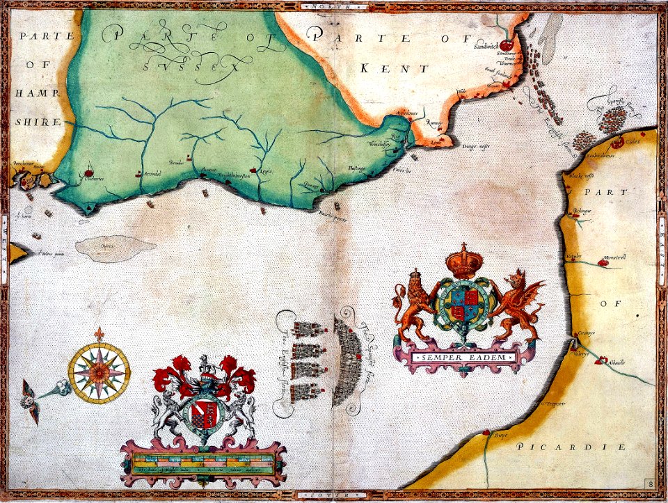
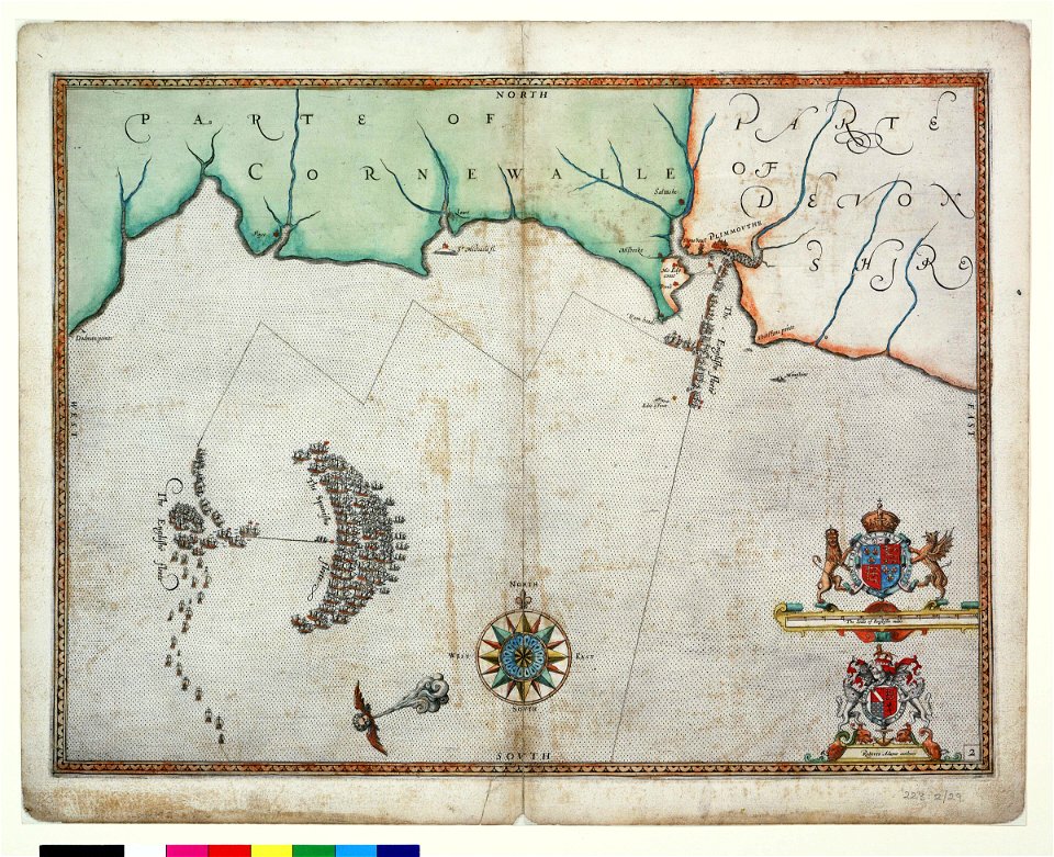
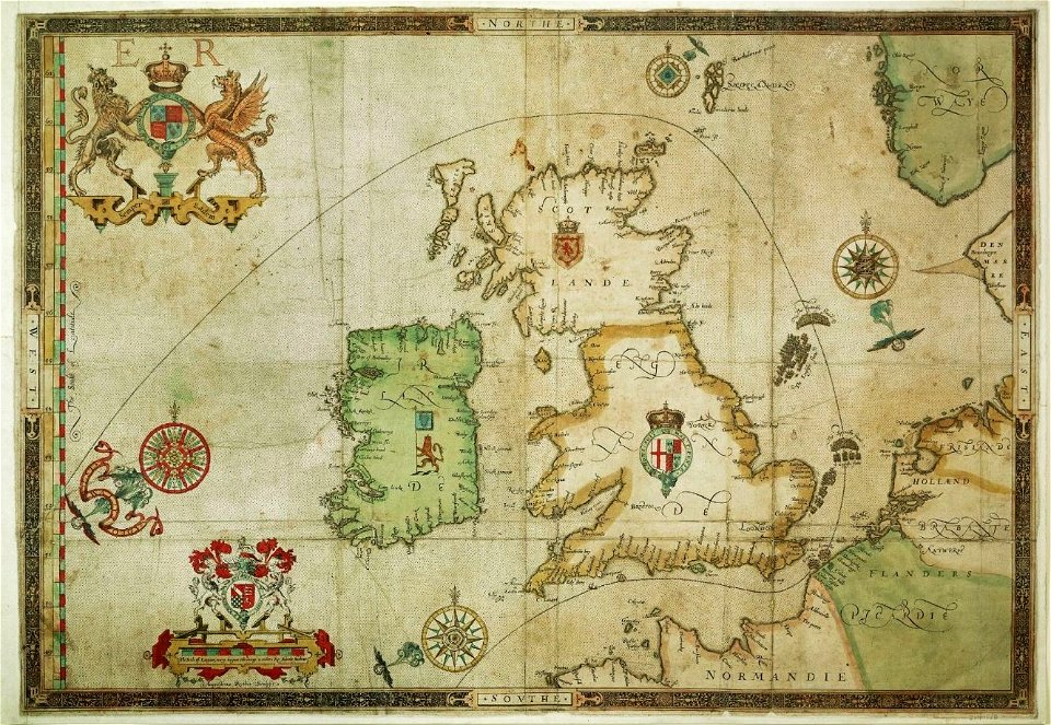
the track of the armada around britain and ireland
london
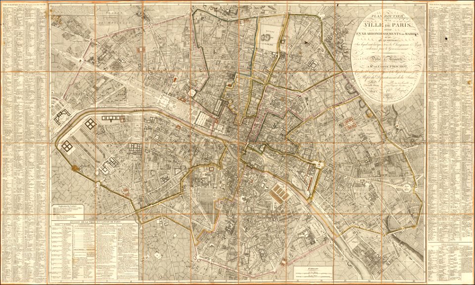
maps of paris from the barry lawrence ruderman antique maps inc.
1814 in paris
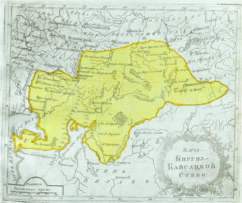
maps of central asia
maps of kazakhstan
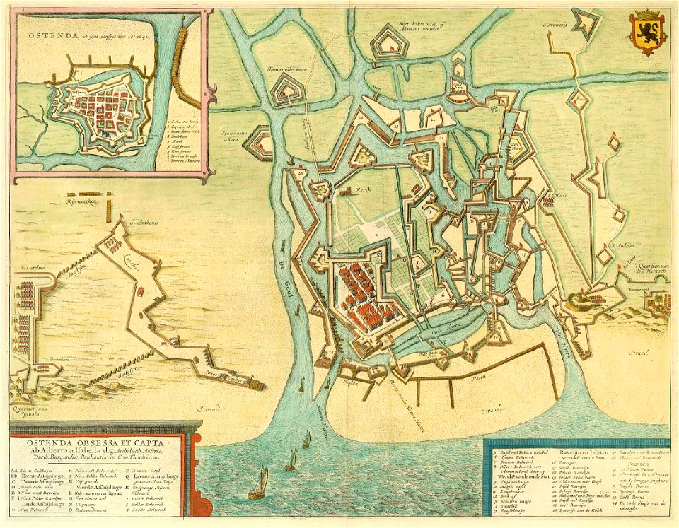
fortifications in the netherlands
history of tiel
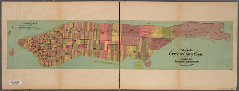
manual of the corporation of the city of new york (1870)
new york city
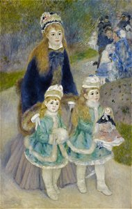
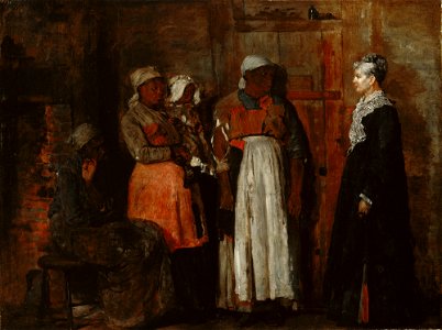
paintings of women
1876 paintings
ermine (clothing) in art
1876 paintings
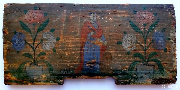
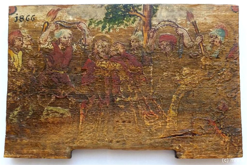
beehive panel paintings in the museum of apiculture
radovljica
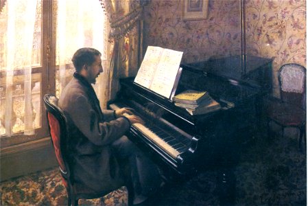
1870s interiors in art
pianists in art
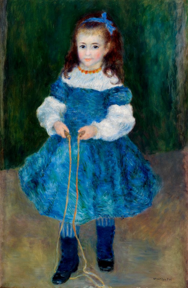
pierre-auguste renoir
mother with children
1876 paintings by pierre-auguste renoir
jump ropes in art
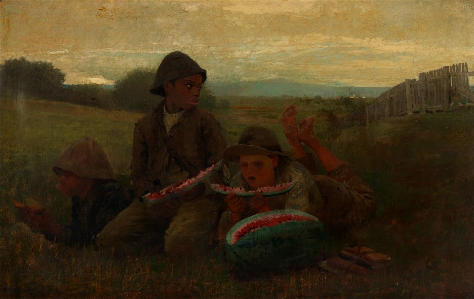
african americans in 19th-century art
1876 paintings
african american history of the 1870s
african americans in 19th-century art
19th-century oil on canvas paintings in slovenia
19th-century religious paintings in slovenia
works by pierre-auguste renoir by fezzi number
saint petersburg
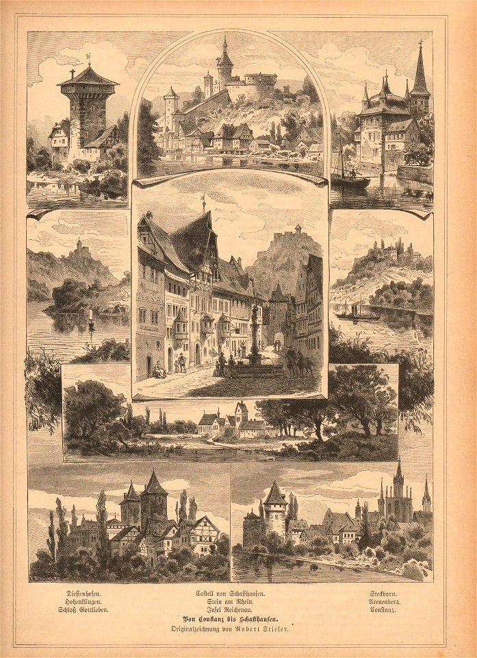
historical images of schaffhausen
schloss arenenberg
the bloody massacre by paul revere
american political prints
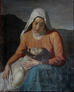
kiss of judas iscariot
radovljica
1876
1870
maps of thaumasia quadrangle
mars topography
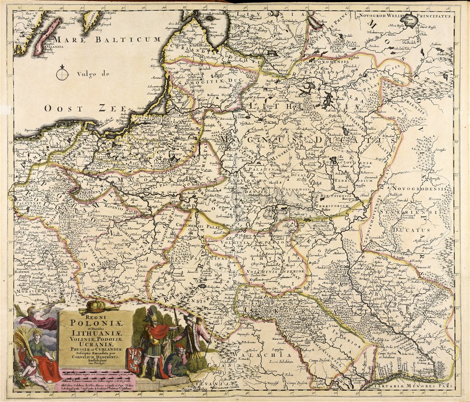
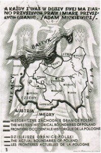
greater poland
map postcards
7201 - 7300 of 38,808
Next page
/ 389